The Golden Legacy: The Story of the Santa Eulalia Hacienda
I. The awakening in the heart of the land
Long before there were boundaries or maps on sealed paper, these green, rolling lands between rivers and mountains belonged to the Indigenous peoples, who knew every corner of the Río Grande valley and the foothills of the Aguacate mountains. The region's destiny, however, took a decisive turn with the arrival of the Spaniards.
Read moreShow less
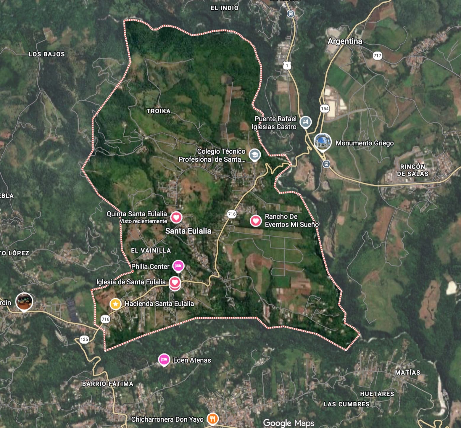
Just a few decades after the first conquistadors passed through the valley, the Spanish Crown set its sights on this strategic enclave. In 1587, only 85 years after Columbus reached the Costa Rican coast, the king granted the first royal title over these lands. That first land grant covered a territory marked out by natural landmarks: from the San Francisco creek to the Roble creek, known as El Cacao, and from the Río Grande to the foothills of Mount Aguacate. The place came to be called San Juan Bautista y Santaolalla, in honour of the young Spanish martyr Saint Eulalia, an ancient name of Greek origin that popular memory would preserve as Olalla.

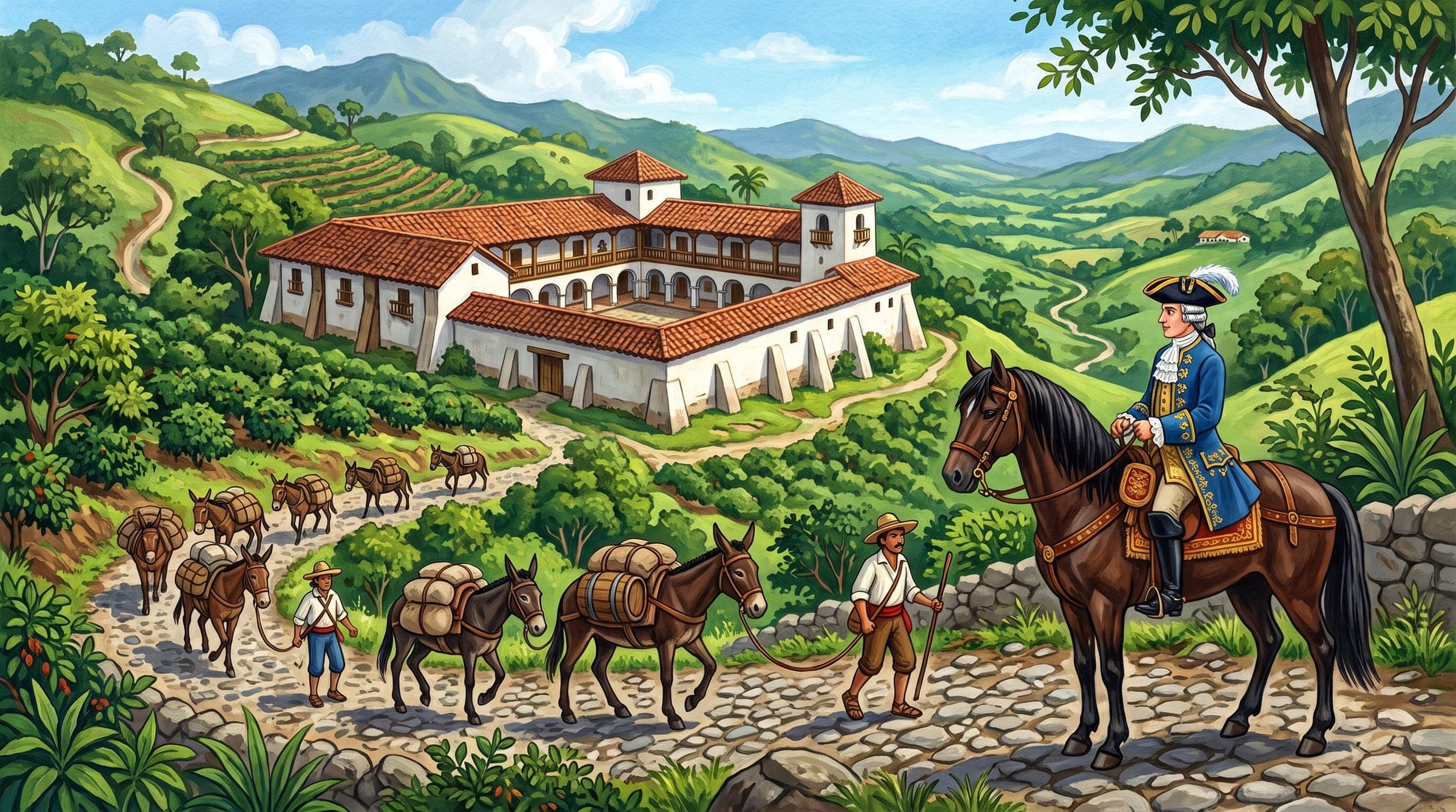
Thanks to its privileged position at the geographic centre of the territory, the hacienda soon became an unavoidable crossing point: its paths carried the caravans of the old mule trail, forerunner of the oxcart roads, the railway and today's highways.
II. Times of hidalgos and governors
As the decades went by, the hacienda kept growing and kept drawing the attention of the most influential figures of colonial power. In 1772 the property was formally ratified and extended by a new Royal Treasury document issued by the Captaincy General in Guatemala.
That document certified, in favour of Don Ventura Sáenz de Bonilla, the possession of 18 caballerías, some 900 hectares, declared realengos, that is, Crown lands, at the site of Santa Eulalia. Ventura was no ordinary resident: he served no fewer than 18 times as governor of the "Villas Viejas" of Heredia. The hacienda thus became the country retreat and centre of operations of the governors, mayors and high-ranking figures who administered the colonial province.
III. The gold rush and the decree of 1823
The year 1821 arrived and, with it, the independence of Central America; but in Santa Eulalia history was only beginning its most brilliant and coveted chapter. The hacienda had reached a monumental size: 2,250 hectares that reached the boundaries of San Mateo and stretched northwards.
In those first years of republican life the hacienda was in the hands of Nicolás Castro, a member of a patrician family that soon transformed the region. In the depths of its lands, near Estanquillo in the Aguacate mountains, they discovered a legendary gold vein: the Castro mine. It became the most productive mine in Costa Rica; some 400 men extracted, by sheer strength and without machinery, up to 14 pounds, about 7 kilos, of pure gold a day.

The wealth drew fortune seekers from everywhere. To impose order between greed and private property, the area's first territorial decree after independence was enacted on 23 March 1823. The law came with a pioneering map, one of the oldest preserved in Costa Rica outside a city, which drew a sharp dividing line: it marked the jurisdiction of Alajuela and made clear that, from the sierra outwards, the people could extract the metal, but that the territory of the Santa Eulalia hacienda was reserved exclusively for its owners. The gold mined on the hacienda was decisive in allowing Costa Rica to begin minting its first national gold coins from 1824 onwards.
IV. Promised land: roads towards the future
During the nineteenth century, the owners of Santa Eulalia shaped the human geography of western Costa Rica:
- Don Ramón Jiménez, a signatory of the celebrated Pacto de Concordia, assumed legitimate ownership of the 2,250 hectares and later sold the hacienda to Ramón González, executor for the Castro family.
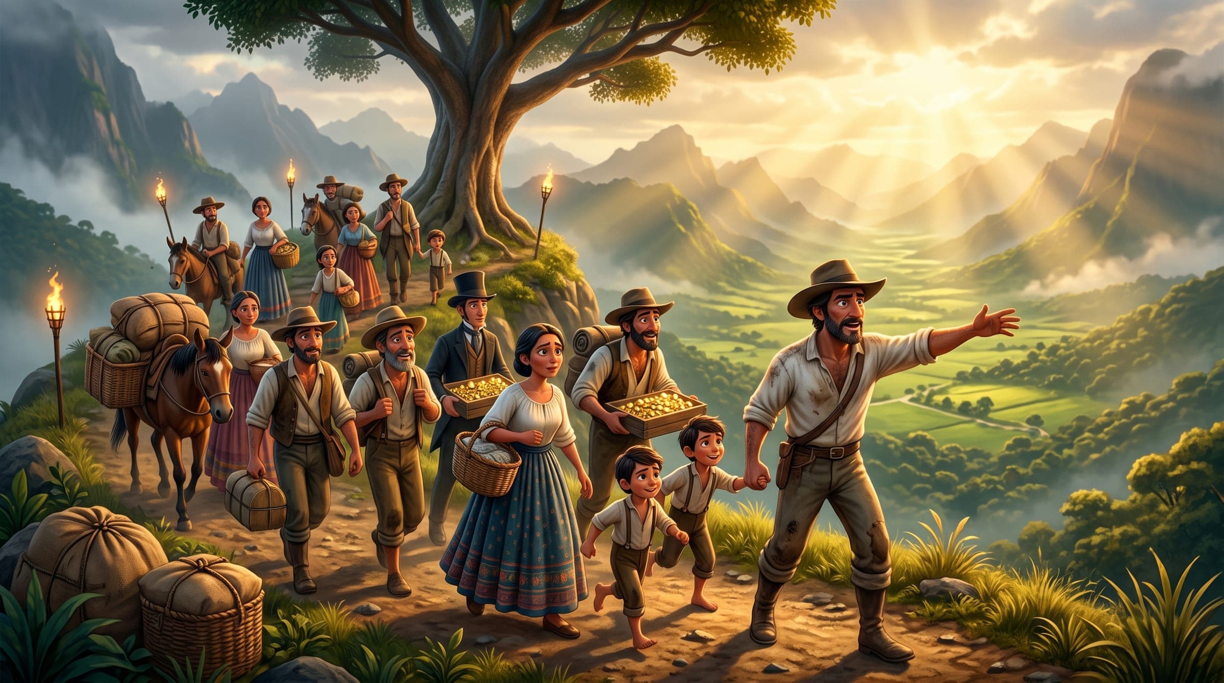
- Militia lieutenant Matías Sandoval and his son-in-law, the illustrious statesman José María Alfaro, future head of state of Costa Rica in 1844, saw in these lands a unique opportunity for agricultural settlement. In 1835 Alfaro took control of the fertile Palmares valley, some 4,000 hectares bordering the hacienda. To populate it, they led some 40 peasant families on a hard journey along the hacienda's roads to that "promised land".
- In 1844 Alfaro legally consolidated the settlement of San Ramón de los Palmares and donated land in Candelaria and Santiago, which had once belonged to the vast hacienda, to secure public roads and trade routes.
Around 1850 the hacienda passed to Nicolás Ulloa Soto, president of the Assembly, senator and a shrewd commercial visionary. Ulloa understood that the real fortune lay not only in taking gold out of the ground, but in supplying the growing towns with goods, liquor (the hacienda even housed state liquor outlets) and blocks of raw cane sugar, linking the royal roads of Poás with Los Palmares through the neighbouring El Cajón hacienda.
V. The rebirth of the present
With the passing of the decades and the reorganisation of the cantons in the early twentieth century, the old boundaries of the hacienda broke up and formally gave rise to the town and district of Santa Eulalia de Atenas.
Yet the soul of the old hacienda never disappeared. It was kept safe in the grandmothers' traditional recipes, in the tales of characters such as "Mamita Maura", immortalised in literature by Fabián Dobles, in the history books and in the ancient colonial parchment of 1587, carefully preserved at the National Archive.
Centuries after the kings of Spain stamped their seal, the people of Santa Eulalia dusted off those maps and titles once more to remember that their land was not born by chance: it was the cradle of the commerce, the gold and the roads that built Costa Rica.
Sources: Título real de 1587 y documento de la Real Hacienda de 1772 sobre el sitio de Santa Eulalia, Archivo Nacional de Costa Rica (2026-09-19) · Investigación documental de Rafael Barrantes y libro sobre la historia de Santa Eulalia de la Asociación de Desarrollo Integral; texto aportado por la familia (2026-09-19) · Acta de la sesión extraordinaria del Concejo Municipal de Atenas del 9 de abril de 2025 (Acuerdo n.º 4); copia en poder de la familia (2026-09-18)